El Niño and Pacific Tropical Cyclones: Dynamics and Risks
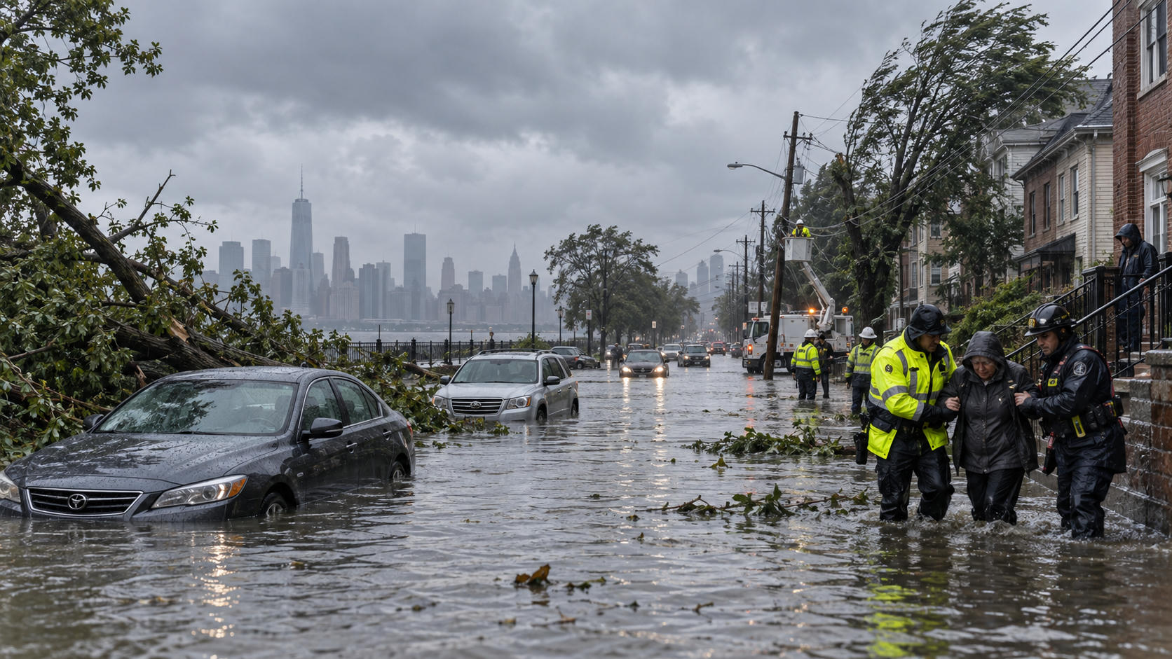
El Niño Goes Wild: Pacific Ocean Under Siege from Tropical Cyclones
The Pacific Ocean experiences profound climatic shifts during anomalous phases of the El Niño-Southern Oscillation (ENSO). During a strong El Niño event, traditional atmospheric and oceanic equilibria break down. Equatorial trade winds collapse or reverse, shifting massive pools of warm ocean water eastward across the Pacific basin. This migration rearranges global weather patterns, generating conditions highly favorable for the development of destructive tropical cyclones across regions that are typically stable or characterized by high wind shear.
Tropical cyclone activity in the Central and Eastern Pacific basins reaches historic highs during these phases. Unusually high sea surface temperatures (SSTs) combine with diminished vertical wind shear and enhanced atmospheric instability to supercharge cyclogenesis. Storms form in rapid succession, track across vast expanses of open water, and undergo explosive intensification into major Category 4 and Category 5 systems. Understanding the thermodynamic and dynamic mechanisms governing this activity is critical for coastal defense, maritime navigation, and disaster mitigation strategies worldwide.
1. Introduction: The Supercharged Pacific Basin
The El Niño-Southern Oscillation (ENSO) is the dominant driver of interannual climate variability across the globe. Characterized by periodic fluctuations in sea surface temperatures and atmospheric pressure across the equatorial Pacific, ENSO alternates between three phases: neutral, La Niña (cooling), and El Niño (warming).
During intense El Niño phases, the Pacific Ocean transforms into a high-energy crucible for tropical cyclogenesis. A canonical or “super” El Niño disrupts the regular atmospheric Walker Circulation. Under normal conditions, strong trade winds push warm surface waters toward the western Pacific warm pool, keeping the eastern Pacific relatively cool due to persistent upwelling along the South American coast. During El Niño, these trade winds weaken significantly or reverse into westerly wind bursts.
Normal / La Niña Conditions:
[West Pacific: Warm Water Pool] <--- (Trade Winds) --- [East Pacific: Cold Upwelling]

El Niño Conditions:
[West Pacific: Cooler / Rising Pressure] ---> (Westerly Bursts) ---> [Central/East Pacific: Deep Warm Pool]
This dynamic shift initiates downwelling equatorial Kelvin waves that traverse the Pacific from west to east, depressing the thermocline in the Central and Eastern Pacific. Consequently, millions of square kilometers of ocean water surge to temperatures well above the 26.5°C threshold required for tropical cyclone formation.
The immediate result is a dramatic eastward migration of tropical cyclone activity. The Central and Eastern Pacific basins, typically constrained by cooler waters and high tropospheric wind shear, become active corridors of intense tropical storm and hurricane tracks. The Pacific Ocean falls under sustained siege from long-lived, rapidly intensifying systems that threaten island nations, coastal shipping corridors, and populated mainlands from Mexico to Hawaii and East Asia.
2. The Mechanics: How El Niño Drives Tropical Cyclones
Tropical cyclones operate as massive atmospheric heat engines. Their formation, maintenance, and maximum potential intensity depend directly on thermodynamic inputs from the upper ocean and favorable dynamic conditions in the troposphere. El Niño fundamentally alters both parameters across the Pacific basin.
+-------------------------------------------------------------+
|                     El Niño Ocean State                     |
|  - Depressed Eastern Thermocline                            |
|  - High Tropical Cyclone Heat Potential (TCHP)              |
|  - Sea Surface Temperatures > 28°C-30°C                     |
+-------------------------------------------------------------+
                              │
                              ▼
+-------------------------------------------------------------+
|                  Atmospheric Alterations                    |
|  - Displaced Walker Circulation                             |
|  - Reduced Vertical Wind Shear (< 10-15 knots)              |
|  - Enhanced Deep Tropospheric Moisture & Instability        |
+-------------------------------------------------------------+
                              │
                              ▼
+-------------------------------------------------------------+
|                     Cyclogenesis Surge                      |
|  - Eastward Shift in Genesis Points                         |
|  - Elevated Ocean Residence Time                            |
|  - Frequent Rapid Intensification (Category 4 & 5)          |
+-------------------------------------------------------------+
Sea Surface Temperature (SST) Anomalies as Storm Fuel
The eastward displacement of equatorial warm water creates widespread positive SST anomalies across the Niño 3.4 and Niño 3 regions, often extending into the Niño 1+2 zone near the South American coast. Temperatures frequently exceed baseline climatological averages by 1.5°C to 3.0°C.
Tropical cyclogenesis requires more than just a warm surface layer; it requires high Tropical Cyclone Heat Potential (TCHP), which measures the integrated heat content of the ocean from the surface down to the 26°C isotherm.
- In non-El Niño years, the thermocline in the Eastern Pacific is shallow (30 to 50 meters), meaning tropical cyclones quickly churn up cold subsurface waters through wind-induced vertical mixing, effectively terminating their own fuel supply.
- During strong El Niño events, downwelling Kelvin waves drive the 26°C isotherm to depths exceeding 100 to 150 meters.
- This deep thermal reservoir prevents cold-water upwelling beneath active vortices, allowing storms to extract uninterrupted enthalpy fluxes from the ocean surface even at high wind speeds.
| Ocean Parameter | Neutral / La Niña Phase | Strong El Niño Phase | Impact on Cyclogenesis |
|---|---|---|---|
| SST in Eastern Pacific | 22°C – 26°C (Sub-optimal) | 27°C – 31°C (Optimal) | Exceeds thermodynamic threshold for convection |
| Thermocline Depth | Shallow (30–50 m) | Deep (> 100–150 m) | Eliminates negative SST feedback from upwelling |
| TCHP (kJ/cm²) | Low (< 20–30) | High (> 75–110) | Supports rapid intensification to major hurricane status |
| Tropospheric Shear | Moderate to High (> 20 kts) | Low (< 10 kts) | Allows vertical alignment of storm core |
Vertical Wind Shear and Moisture Transport
Thermodynamics alone cannot generate tropical cyclones; the dynamic environment must allow organized convection to persist. Vertical wind shear—the difference in wind speed and direction between the lower troposphere (850 hPa) and the upper troposphere (200 hPa)—is the primary dynamic inhibitor of tropical storms. Strong wind shear tilts the convective core of a tropical cyclone, venting latent heat away from the circulation center and injecting dry ambient air into the system.
During El Niño, the disruption of the Walker Circulation alters upper-tropospheric wind patterns over the Pacific:
- The eastward shift in deep atmospheric convection alters the Hadley cell dynamics and suppresses typical westerly upper-level winds in the subtropical Eastern Pacific.
- Vertical wind shear drops below 10 to 15 knots across wide expanses of the basin.
- This low-shear environment allows convective clusters to vertically align their mid-level and low-level vorticity centers without dynamic disruption.
- Convective moisture transport increases drastically. The anomalous warmth of the ocean saturates the lower and middle troposphere, reducing the entrainment of dry, stable mid-level air that typically hampers tropical disturbances.
The resulting high-moisture, low-shear column creates an optimal environment for sustained organized convection and cyclogenesis.
3. Basin-by-Basin Impact Analysis
The consequences of an anomalous ENSO cycle vary across the Pacific basin, shifting regional risks, storm tracks, and genesis locations.
       WESTERN PACIFIC (WNP)                  CENTRAL & EASTERN PACIFIC (CP / EP)
┌──────────────────────────────────────┐     ┌──────────────────────────────────────┐
│ - Genesis shifts east toward Date    │     │ - Massive surge in total cyclogenesis│
│   Line (Micronesia / Marshall Is.)   │     │ - Long westerly tracks toward Hawaii │
│ - Longer tracks over deep warm water │     │ - Direct threats to Western Mexico   │
│ - Higher frequency of Super Typhoons │     │ - Suppressed upwelling maintains SST │
└──────────────────────────────────────┘     └──────────────────────────────────────┘
Central and Eastern Pacific Storm Surges
The Eastern Pacific (from the west coast of North America to 140°W) and the Central Pacific (140°W to the International Date Line) experience the most severe surges in tropical cyclone frequency and intensity during El Niño.
In standard seasons, the Eastern Pacific generates numerous small, short-lived systems that track west-northwest into cooler waters or encounter unfavorable shear, dissipating harmlessly over open ocean. During El Niño:
- The genesis zone extends further west into the open Central Pacific and further south near the Intertropical Convergence Zone (ITCZ).
- The average Accumulated Cyclone Energy (ACE) index in these basins spikes significantly above historical averages.
- Storms originating off the coast of Central America and Mexico maintain their structural integrity over long tracks, steered west-northwest by altered subtropical ridges.
- Extended hurricane tracks frequently push systems into the Central Pacific basin, placing the Hawaiian archipelago in the direct path of major hurricanes.
Simultaneously, the west coast of Mexico faces a higher frequency of landfalling systems that develop close to shore and curve northeastward ahead of mid-latitude troughs penetrating lower latitudes.
Western Pacific Adjustments
The Western North Pacific (WNP) basin is the most active tropical cyclone basin on Earth. During El Niño, the total number of named storms in the WNP may remain near normal or decline slightly, but their spatial distribution, lifespans, and peak intensities alter fundamentally.
- Eastward Shift of the Monsoon Trough: The monsoon trough extends far to the east, moving the mean genesis location of typhoons from the South China Sea and Philippine Sea eastward toward the Federated States of Micronesia and the Marshall Islands.
- Prolonged Ocean Residence Time: Because storms form thousands of kilometers further east than usual, they spend more time traversing the deep warm pool of the tropical Pacific before encountering landmasses in East Asia.
- Elevated Super Typhoon Rates: This extended transit over waters with high tropical cyclone heat potential gives systems ample time to organize, mature, and reach Category 5 intensity (Super Typhoon status, with sustained winds $\ge 130\text{ knots}$).
Consequently, while the Philippines and Southeast Asia may see fewer direct early-season landfalls, the storms that do strike East Asia (including Japan, Taiwan, and the Korean Peninsula) later in the season tend to be stronger, longer-lived, and more destructive.
4. Rapid Intensification and Catastrophic Peak Intensities
One of the most dangerous characteristics of tropical cyclones during strong El Niño events is the increased frequency of Rapid Intensification (RI). The National Hurricane Center (NHC) defines rapid intensification as an increase in maximum sustained winds of at least 30 knots (approximately 35 mph or 55 km/h) within a 24-hour period. Under supercharged El Niño conditions, storms frequently double or triple this intensification threshold.
Rapid Intensification Requirements in Active ENSO:
  [High TCHP Deep Layer] + [Very Low Vertical Shear] + [High Relative Humidity (700-500 hPa)]
                                       │
                                       ▼
             Sustained Wind Speed: +30 to +60+ knots in 24 Hours
                                       │
                                       ▼
                  High-Impact Landfalls with Short Lead Times
Frequency of Category 4 and 5 Systems
The convergence of deep ocean heat content, minimal vertical wind shear, and high mid-tropospheric humidity creates ideal conditions for extreme intensification. When a tropical cyclone’s inner core aligns vertically, latent heat release within the eyewall’s convective towers drives rapid central pressure falls.
Statistical records show that during El Niño years, the proportion of named storms that achieve major hurricane or super typhoon status (Category 3 to 5 on the Saffir-Simpson scale) increases markedly. Storms undergo explosive deepening cycles, dropping 40 to 80 hPa of central pressure in under 24 hours.
This rapid transition poses severe risks when it occurs near populated coastlines. When systems rapidly intensify immediately prior to landfall, meteorological agencies face narrowed forecast windows, leaving emergency services and local populations minimal time to execute mass evacuations.
Compound Hazards: Storm Surge, Extreme Rainfall, and Flooding
The physical threats delivered by El Niño-driven tropical cyclones extend beyond destructive eyewall winds. Systems operating within these altered climate states produce severe compound hazards:
+-----------------------------------------------------------------------------------+
|                            COMPOUND CYCLONE HAZARDS                               |
+------------------------------------+----------------------------------------------+
| Dynamic Oceanic Hazards            | Atmospheric & Terrestrial Hazards            |
+------------------------------------+----------------------------------------------+
| • Thermal Expansion + Wind Push    | • Deep Tropospheric Precipitable Water       |
| • Exacerbated Coastal Storm Surge  | • Extreme Inland Rainfall Rates              |
| • Catastrophic Coastal Inundation  | • Flash Floods, Mudslides, & Infrastructure  |
| • Severe Wave Action and Erosion   |   Collapse in Steep Topography               |
+------------------------------------+----------------------------------------------+
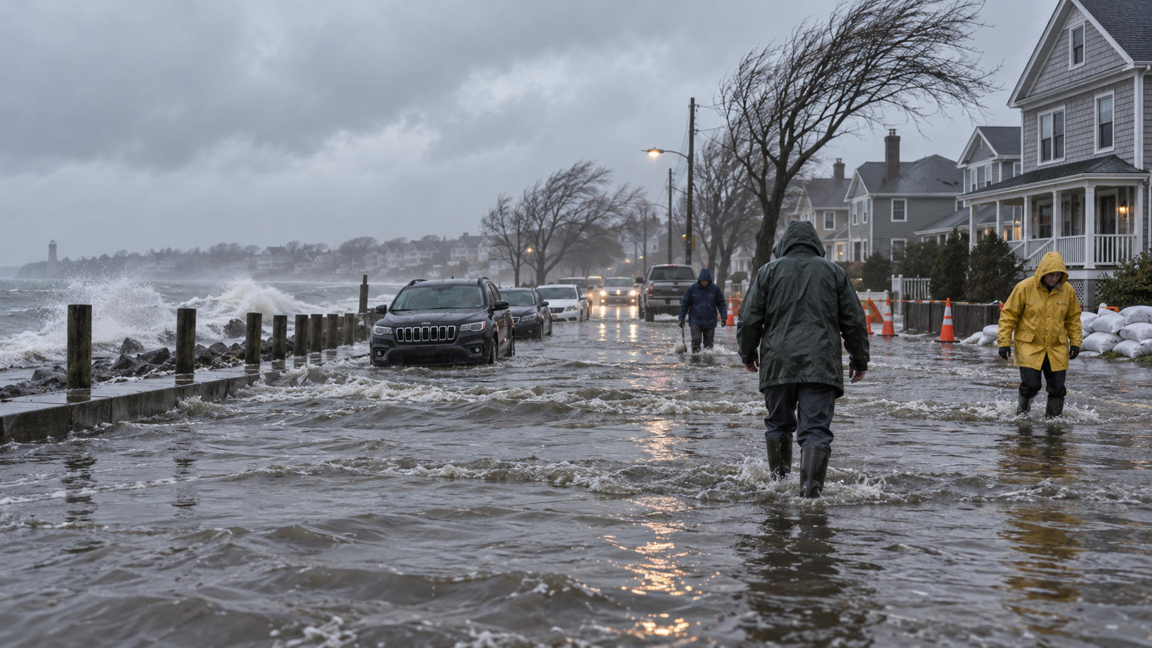
- Exacerbated Storm Surge: El Niño conditions create dynamic sea-level anomalies across the Eastern Pacific. Elevated background sea levels, driven by thermal expansion and relaxed trade winds, raise the baseline for storm-driven surges. When a major hurricane drives high water onshore, the resulting inundation reaches further inland, overtopping seawalls and destroying coastal defenses.
- Extreme Inland Rainfall Rates: The high moisture-holding capacity of warmer air (governed by the Clausius-Clapeyron relation, which dictates roughly a 7% increase in atmospheric water vapor per 1°C of warming) ensures that these systems carry elevated precipitable water values.
- Catastrophic Flooding and Geomorphic Failure: When slow-moving, moisture-laden cyclones make landfall along the mountainous coastlines of Western Mexico, Central America, or East Asian island arcs, orographic lift extracts extreme precipitation. The resulting multi-day rainfall triggers catastrophic flash flooding, debris flows, and massive landslides in high-elevation terrains.
5. Socioeconomic, Ecological, and Infrastructure Fallout
The meteorological intensity of an El Niño cyclone season translates directly into systemic impacts across human and natural environments throughout the Pacific rim.
Impact Vectors:
  ├── Island Nations & Settlements  --> Grid collapse, port destruction, freshwater contamination
  ├── Economic Sectors              --> Commercial fisheries disruption, shipping reroutes, supply delays
  └── Marine Ecosystems             --> Coral reef mechanical breakage, mass thermal bleaching, habitat loss
Island Nations and Coastal Settlements Under Threat
Small Island Developing States (SIDS) across the Central and Western Pacific—such as Tuvalu, Kiribati, the Marshall Islands, Fiji, and Samoa—face existential infrastructure vulnerabilities during heightened cyclone seasons.
- Physical Infrastructure: The structural integrity of housing, transportation networks, and electrical grids on remote atolls is rarely rated to withstand sustained Category 4 or 5 winds. Power grids can be flattened in hours, severing communications for weeks.
- Freshwater Security: Low-lying atolls rely on thin freshwater lenses floating above saline groundwater. Storm surge overwash contaminates these subterranean lenses with saltwater, creating immediate water scarcity crises.
- Economic Shocks: Local economies depend heavily on coastal tourism and commercial fisheries. Severe storm seasons destroy port facilities, disable local fishing fleets, and damage reef and coastal environments that support ecotourism.
- Maritime Disruptions: Critical trans-Pacific shipping lanes cross through active storm corridors. Severe weather forces container vessels and bulk carriers to take costly detours, delaying global supply chains and increasing marine insurance premiums.
Disruption to Marine Ecosystems
The marine environment absorbs heavy ecological damage during these multi-hazard events. While tropical cyclones can locally cool surface waters via turbulent mixing, the concurrent El Niño environment creates a dual crisis for marine life.
- Coral Reef Damage and Bleaching: Extended high SSTs trigger widespread coral bleaching, expelling symbiotic zooxanthellae and leaving corals physiologically compromised. When intense cyclones cross these stressed ecosystems, heavy storm-wave action breaks fragile, bleached coral skeletons, reducing complex barrier reefs to rubble fields.
- Turbulence, Sedimentation, and Runoff: Extreme terrestrial runoff washes millions of tons of sediment, agricultural nutrients, and pollutants into nearshore waters. The resulting turbidity blocks sunlight required for photosynthesis by remaining corals and seagrass beds, while nutrient spikes trigger harmful algal blooms and coastal hypoxia.
- Altered Pelagic Fisheries: Pelagic fish stocks, including commercial yellowfin and skipjack tuna, migrate thousands of kilometers eastward following the displaced warm pool and associated forage bases. This sudden migration disrupts traditional fishing zones, impacting commercial fleets and domestic food supplies across Pacific island communities.
6. Meteorological Preparedness, Tracking, and Forecasting
Forecasting tropical cyclone tracks and intensities during anomalous ENSO years presents major challenges for numerical weather prediction (NWP) models and operational meteorologists.
Observational & Numerical Forecasting Pipeline:
  [Satellites / Scatterometers] + [Ocean Profiling Floats (Argo)] + [High-Res In-Situ Dropsondes]
                                            │
                                            ▼
                    [Hybrid AI & Dynamic Global Ensembles (ECMWF, GFS)]
                                            │
                                            ▼
                  [Early Warning Systems & National Civil Protection]
Modern Modeling Challenges in Anomalous ENSO Years
Operational forecast models face unique difficulties when handling anomalous ocean-atmosphere coupled systems:
- Limits of Climatological Baselines: Statistical and hybrid dynamical models trained on historical data often fail when sea surface temperatures and atmospheric variables deviate far beyond normal percentiles.
- Difficulty in Resolving Rapid Intensification: While global models like the European Centre for Medium-Range Weather Forecasts (ECMWF) Integrated Forecasting System and the US Global Forecast System (GFS) capture broad synoptic steering flows accurately, they frequently struggle to resolve inner-core convective processes and eye dynamics during rapid intensification episodes.
- Integration of Machine Learning Models: Modern AI-driven forecasting systems (such as GraphCast, Pangu-Weather, and FourCastNet) offer rapid, computationally efficient track predictions. However, their reliance on historical training data means their intensity predictions require strict verification when unprecedented ocean conditions occur.
- In-Situ and Remote Sensing Coverage: Accurate forecasts require continuous observation. Ocean monitoring relies on satellite scatterometers (such as ASCAT) for surface wind geometry, geostationary infrared and water-vapor imagers for tracking convection, and autonomous Argo floats to measure subsurface TCHP. In critical scenarios, airborne reconnaissance flights deploying GPS dropsondes directly into the cyclone eye and eyewall are essential to provide high-resolution data for initializing convective-permitting hurricane models (such as HAFS and HWRF).
Mitigation and International Disaster Protocols
Adapting to heightened cyclonic threats requires integrated disaster management frameworks across borders:
- Multi-Hazard Early Warning Systems (MHEWS): National meteorological agencies must maintain real-time integration with civil defense authorities to issue early warnings well before rapid intensification occurs.
- Regional Coordination Frameworks: Organizations such as the World Meteorological Organization (WMO) Regional Specialized Meteorological Centres (RSMCs) in Honolulu, Miami, and Tokyo coordinate cross-border tracking data, storm naming conventions, and continuous advisories for global shipping and island communities.
- Infrastructure Hardening and Evacuation Mapping: Coastal regions must enforce resilient building codes, build hard and nature-based coastal defenses (such as mangrove restoration to absorb wave energy), and design inland evacuation pathways clear of flood-prone river corridors.
Frequently Asked Questions (FAQ)
What causes El Niño to increase tropical cyclone activity in the Pacific?
El Niño drives tropical cyclogenesis across the Central and Eastern Pacific through two primary mechanisms:
- Thermodynamic Forcing: Equatorial trade winds weaken or reverse, allowing deep, warm surface water to migrate eastward. This increases sea surface temperatures and raises the Tropical Cyclone Heat Potential, preventing cold water from upwelling beneath storms.
- Dynamic Forcing: The shift in global atmospheric circulation diminishes vertical wind shear over the Eastern Pacific basin. Low shear allows tropical disturbances to vertically stack their convective cores and rapidly organize without structural disruption.
How does El Niño differ from La Niña regarding cyclone formation?
El Niño and La Niña generate roughly opposite patterns across global storm basins:
| Parameter / Basin | El Niño Phase | La Niña Phase |
|---|---|---|
| Eastern/Central Pacific | Heightened Activity: Low wind shear, high SSTs, frequent Category 4/5 storms. | Suppressed Activity: Strong vertical wind shear, cooler SSTs, fewer named storms. |
| Western Pacific | Eastward Genesis Shift: Storms form farther east, leading to longer tracks and more Super Typhoons. | Westward Genesis Shift: Storms form closer to Asian landmasses, often leading to shorter lifespans. |
| Atlantic Basin | Suppressed Activity: Strong upper-level westerly winds increase shear across the Caribbean and tropical Atlantic, tearing systems apart. | Heightened Activity: Low vertical wind shear and warmer waters foster more frequent Atlantic hurricanes. |
Are tropical cyclones during El Niño stronger than usual?
On average, yes, particularly across the Central and Eastern Pacific. The presence of elevated Tropical Cyclone Heat Potential (deep warm water) prevents storms from upwelling cooler subsurface water as they churn over the ocean. This continuous energy supply, combined with low tropospheric wind shear, frequently leads to rapid intensification events, producing a higher proportion of Category 4 and Category 5 systems.
Which regions face the greatest risk during an El Niño cyclone season?
The highest-risk regions during an active El Niño cyclone regime include:
- The Western Coast of Mexico: Highly susceptible to rapidly intensifying hurricanes that track close to the coastline or recurve inland.
- The Hawaiian Islands: Exposed to extended hurricane tracks crossing from the Eastern Pacific into the Central Pacific.
- Micronesia, the Marshall Islands, and Guam: Located near the eastward-shifted genesis zones in the Western North Pacific, exposing them to developing storms.
- Japan, Taiwan, and the East Asian Coastline: Frequently impacted by long-tracked, high-intensity super typhoons traversing the Western Pacific warm pool.
How do meteorologists predict cyclone activity during extreme El Niño events?
Meteorologists use a multi-tiered modeling and observation framework:
- Climate Indices & SST Monitoring: Continuous monitoring of the Oceanic Niño Index (ONI), Southern Oscillation Index (SOI), and subsurface ocean heat profiles via autonomous ocean arrays.
- Coupled Dynamical Ensembles: Numerical weather models (e.g., ECMWF, GFS, UKMET) that simulate the interactions between the ocean and atmosphere over short- and medium-range intervals.
- Remote Sensing & Reconnaissance: Spaceborne scatterometers, microwave sounders, geostationary satellites, and high-altitude aircraft dropsondes provide real-time structural data, ensuring models are initialized with precise atmospheric and oceanic metrics.